fishing

fishing in and around richwood and the monongahela national forest
Rules and Regulations
All West Virginia Division of Natural Resources regulations govern fishing on the Forest.
Key fishing requirements include:
West Virginia state fishing and conversation stamps are required for fishing on Monongahela National Forest lands.
Trout fishing requires an additional National Forest Trout Stamp. These are two separate stamps and both are purchased where your purchase your fishing license.
West Virginia fishing license and your personal ID are required at all times while fishing.
There are certain places on the Forest that have additional regulations put in place for conservation and protection of the Forest's natural resources. Please check site-specific pages HERE for more information. To purchase a license you can go to a participating retailer or follow the online link HERE.
Types of Fishing on the Monongahela National Forest
The Monongahela National Forest is home to 87 species of fish including a wide variety of game fishes and associated non-game fish species.
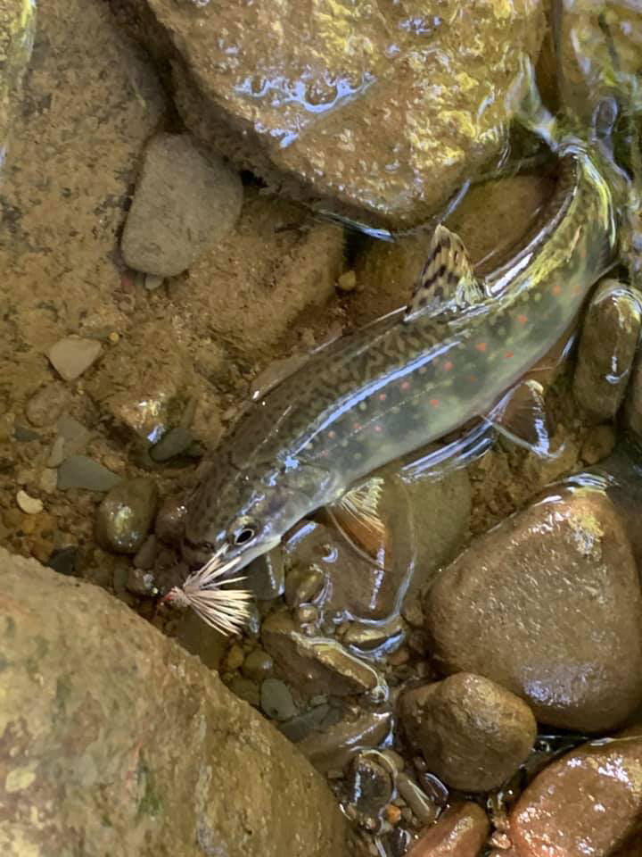
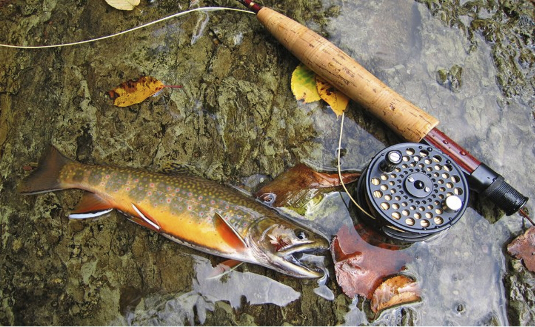
The Forest features more than 600 miles of cold water streams that are inhabited year-round by native brook trout. These streams are prized for the vital habitat they provide in sustaining West Virginia’s only native trout. Rainbow, golden and brown trout can also be found in some of our Forest streams.
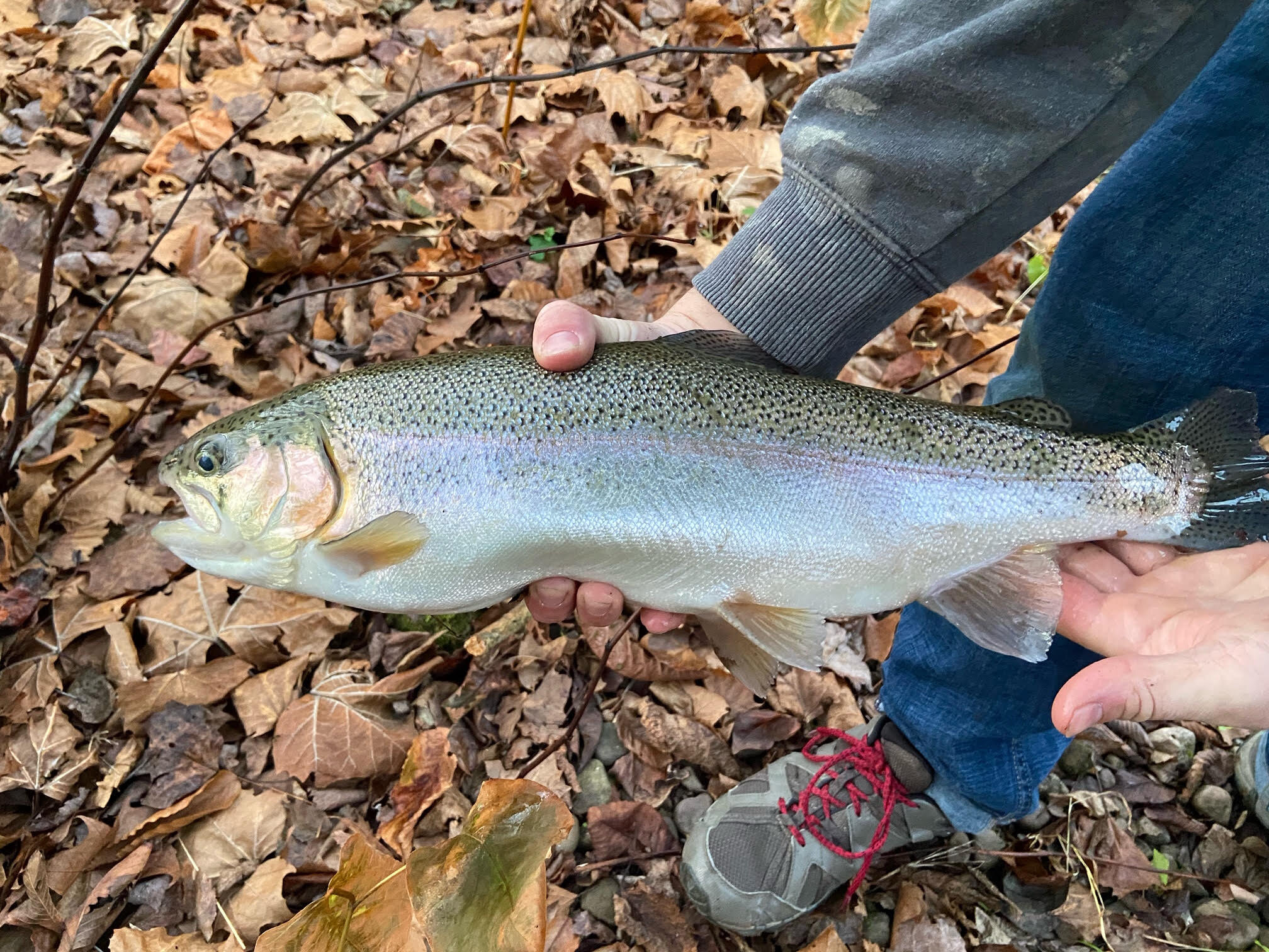
Approximately 350 miles of streams on the Forest provide seasonal trout waters that transition exclusively into cool water or warm water fisheries as summer makes it way into the West Virginia highlands. Many of these streams are stocked during the fall, winter, and spring with hatchery raised rainbow, golden rainbow, brown, and brook trout by the West Virginia Division of Natural Resources to provide put-and-take trout fishing opportunities. The warm water angler will especially enjoy honing their skill in streams such as the Greenbrier River which offers some of the State’s best smallmouth bass waters.
Those who enjoy the relaxing tranquility of lake fishing can experience it on the 43 acre man-made Summit Lake which offers large and small mouth bass, bluegill, and trout.
STOCK SCHEDULE 2023
Contact Four Seasons Outfitters for 2023 stock schedule. Reach them on facebook or by phone (304) 846-2862


rivers
north fork cherry river
The upper headwaters of the Cherry begin as two separate creeks, the North Fork Cherry River and the South Fork Cherry River each of which rises in southeastern Pocahontas County and flows generally west-northwestwardly across northern Greenbrier County before converging in Nicholas County at the city of Richwood.
It hosts rainbow, golden rainbow, brown, and brook trout and bass.
It sits at an elevation of approximately 2,200 feet above sea level and is a tributary of the Gauley.
cranberry river
Located in Pocohontas County, the Cranberry River is regarded by many to be one of the best streams on the East Coast for trout fishing. It hosts rainbow, golden rainbow, brown, and brook trout and bass and is great for fly fishing.
south fork cherry river
The upper headwaters of the Cherry begin as two separate creeks, the North Fork Cherry River and the South Fork Cherry River each of which rises in southeastern Pocahontas County and flows generally west-northwestwardly across northern Greenbrier County before converging in Nicholas County at the city of Richwood.
It hosts rainbow, golden rainbow, brown, and brook trout and bass.
It sits at an elevation of approximately 2,200 feet above sea level and is a tributary of the Gauley.
williams river
The Williams River is regarded as one of the five best trout fishing streams in West Virginia, due to its cold water temperature, low turbidity and frequent stockings of trout (amounting to 27,000 pounds annually) by the WVDNR.
It flows for much of its length in the Monongahela National Forest including the Cranberry Wilderness.
It hosts rainbow, golden rainbow, brown, and brook trout and bass.
gauley river
The Gauley River offers anglers the opportunity to catch trout, smallmouth bass, walleye, and muskellunge.
It’s rugged, one should be prepared to hike, scramble, and wade.
greenbrier river
The smallmouth bass fishing in the Greenbrier River is considered world-class. In addition to smallmouth, it contains brown, rainbow and brook trout, largemouth bass, muskie, catfish and carp. Anglers can either float this slow moving river or wade by gaining access at numerous points along the Greenbrier River Trail. Floaters can enjoy paddling on one of the longest undammed rivers in the east.

still bodies of water
summit lake
A 43 acre man-made lake which offers large and small mouth bass, bluegill, and trout. Boats with battery powered motors, kayaks, paddle boards and row boats are permitted on the lake. Swimming and gasoline powered engines are prohibited.
The area surrounding the lake includes a primitive 33-site campground.
Click here for GPS: Summit Lake
summersville lake
This 2,700-acre lake on the Gauley River, is the largest lake in WV. It has a superb water quality and sheer sandstone cliffs make Summersville Lake a unique place to visit. Anglers can explore over 60 miles of shoreline, mostly by boat. This deep clear lake provides excellent opportunities for bass as well as crappie, bluegill channel catfish, walleye and rainbow.
Click here for GPS: Summersville Lake

streams
Local favorites for Native Trout
*There are countless streams and creeks that serve as tributaries. This list is a very small percentage. Contact Four Seasons Outfitters for more information. Tel. (304) 846-2862
Spencer Run
Tributary to the North Fork Cherry River, it runs off the mountain between Weber City Bridge and Johnstown Bridge in Richwood.
Desert Branch Stream
Tributary to the North Fork Cherry River, it runs down the mountain east of Four Seasons Lodge but before the Gauley Ranger Station. The river must be crossed prior to foot bridge that is on the trail just below the Ranger Station.
Little Laurel Creek
Tributary to the Cherry River. It begins at Laurel Creek Lumber (1 Little Laurel Road) and runs up “Little Laurel”.
Briery Run
Tributary to the South Fork of the Cherry River. It is just off of Johnstown Road toward South Fork about 4.5 miles from the Johnstown Bridge. Sits about 2 miles past Shiras Run.
Shiras run creek
Tributary to the South Fork of the Cherry River. It is just off of Johnstown Road toward South Fork about 2.5 miles from the Johnstown Bridge.
Hacking run
Tributary to the North Fork Cherry River, it runs off the mountain roughly 3.5 miles east of Four Seasons Lodge.
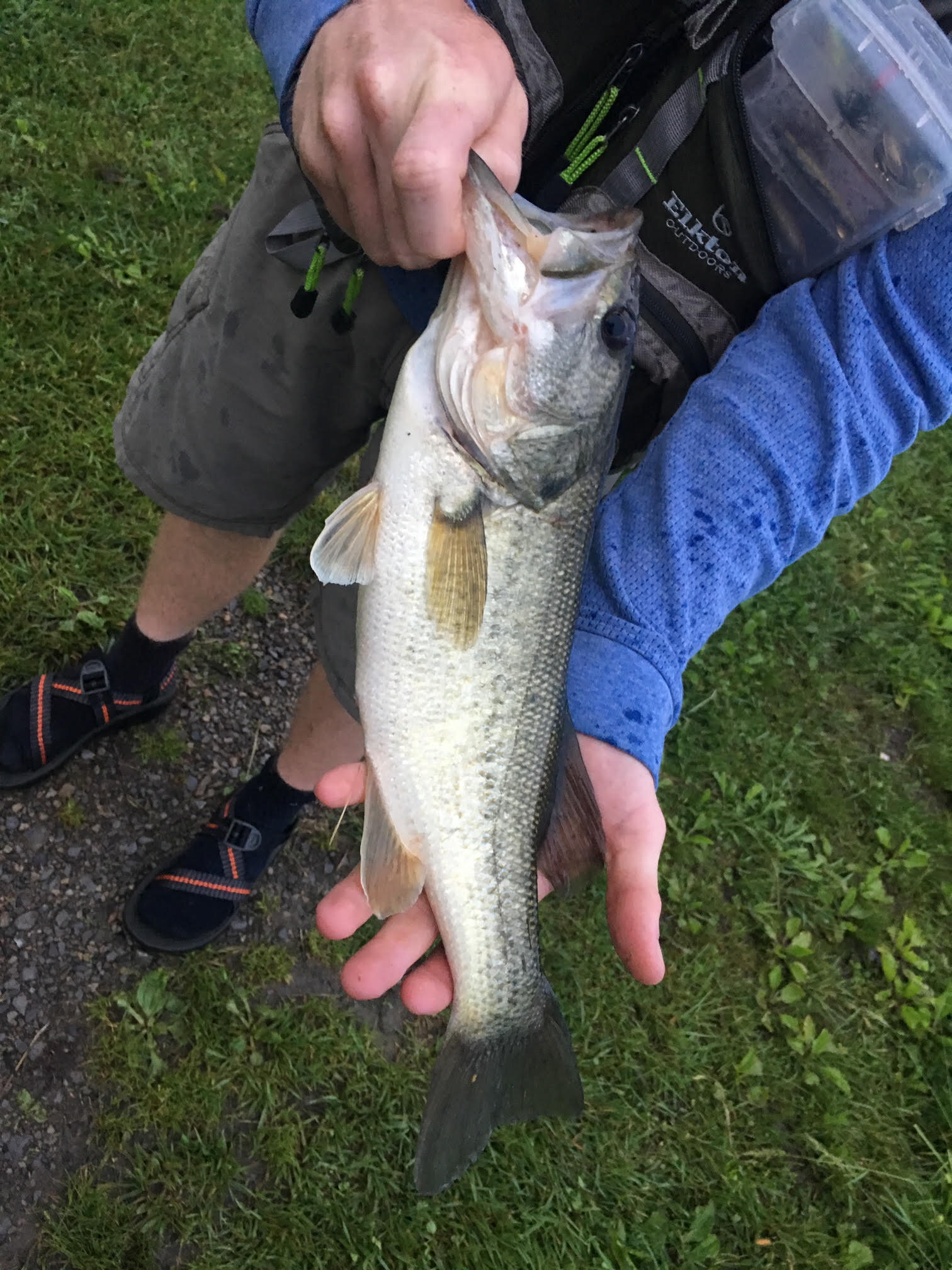
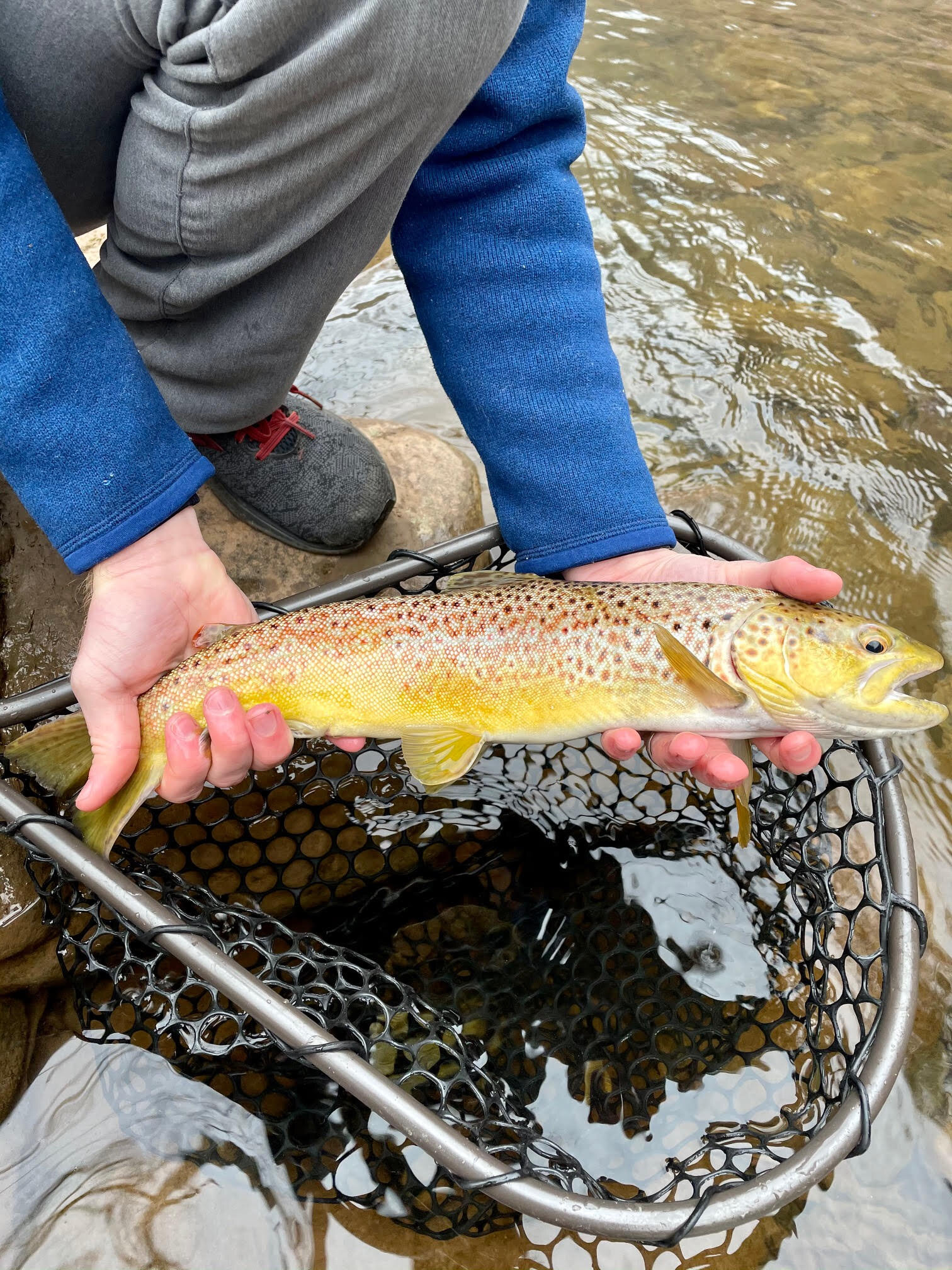
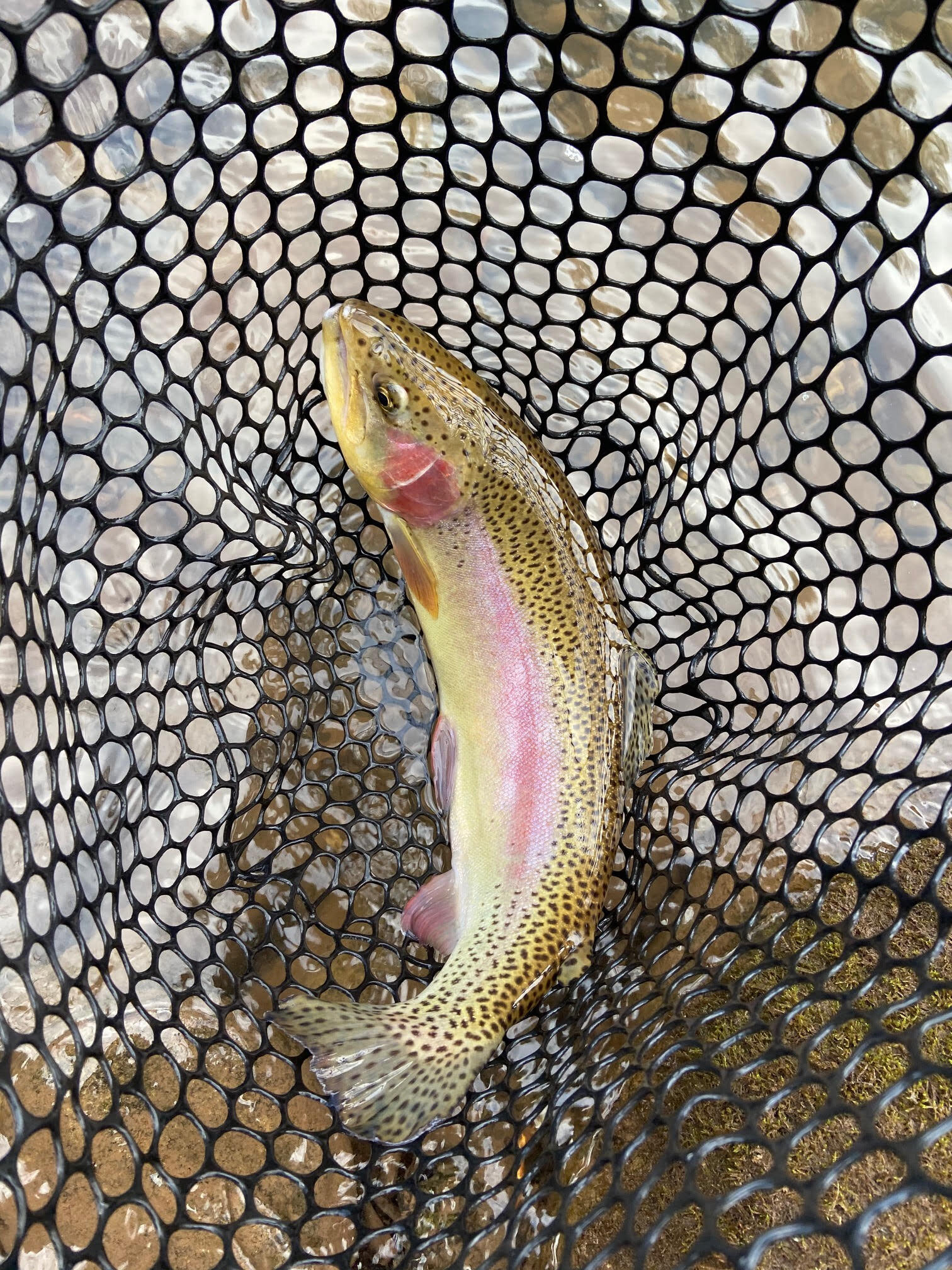
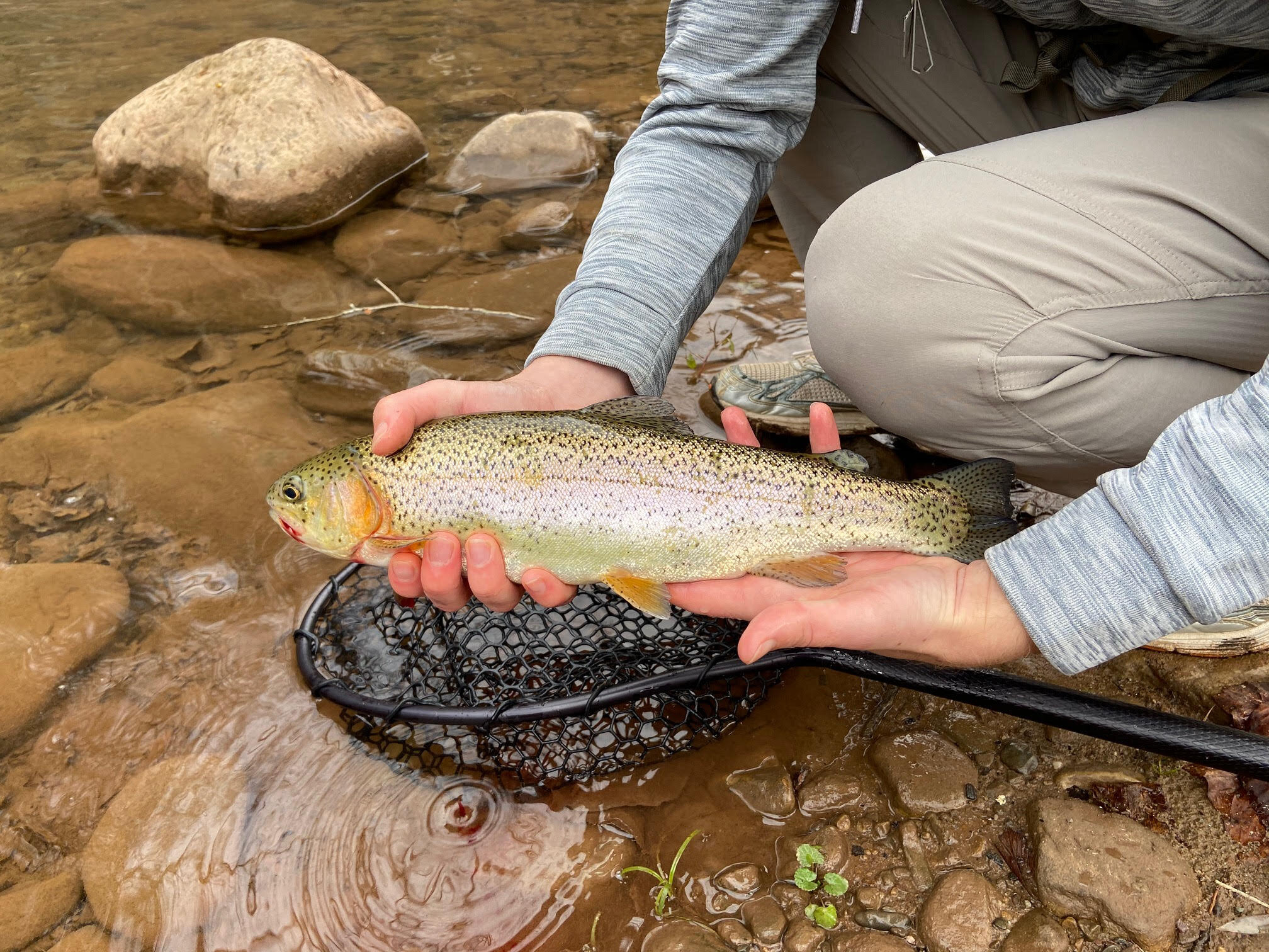
a few local catches